India's Oldest
Mountain Range
650 Million Years of Geological Wonder
650 Million Years of Geological Wonder
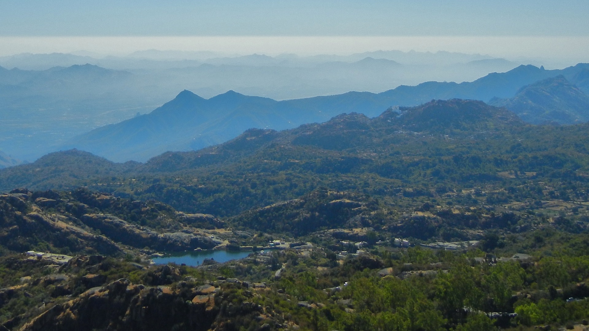
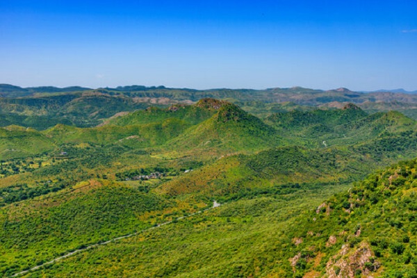
The Aravalli Range is a mountain range in Northern-Western India, running approximately 692 km in a south-west direction, starting near Delhi, passing through southern Haryana, Rajasthan, and ending in Gujarat. This ancient range is one of the oldest fold mountains in the world.
Stretching from Delhi to Gujarat, the Aravalli Range represents India's geological heritage spanning over 650 million years. These mountains were once as high as the Himalayas but have been worn down by erosion over millennia, creating a unique and diverse landscape.
From formation to present day - a journey through deep time
During the Pre-Cambrian era, massive tectonic forces folded the earth's crust, creating these ancient mountains. At their peak, they may have rivaled today's Himalayas in height.
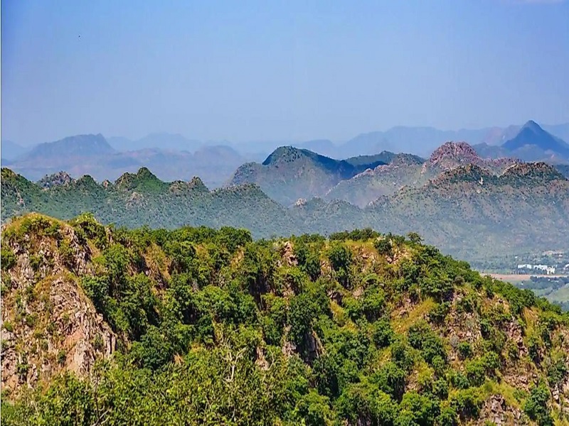
Continuous weathering and erosion gradually wore down the once-towering peaks, creating the rolling hills and valleys we see today.
The Aravalli region was home to several Harappan settlements. Ancient peoples relied on the range's resources and water systems for agriculture and trade.
Rajput kingdoms built magnificent forts atop Aravalli peaks - including famous fortifications like Kumbhalgarh and Chittorgarh.
Post-independence development brings threats from mining, urbanization, and deforestation. Conservation movements emerge to protect this ancient heritage.
The range acts as a natural divide between the Thar Desert to the northwest and the fertile plains to the southeast. This geographic position makes it crucial for regional climate and water security.
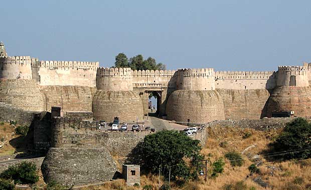
The Aravalli hills are dotted with magnificent forts and palaces built by Rajput kings. Kumbhalgarh, Amber Fort, and Chittorgarh stand as testaments to the region's rich history.
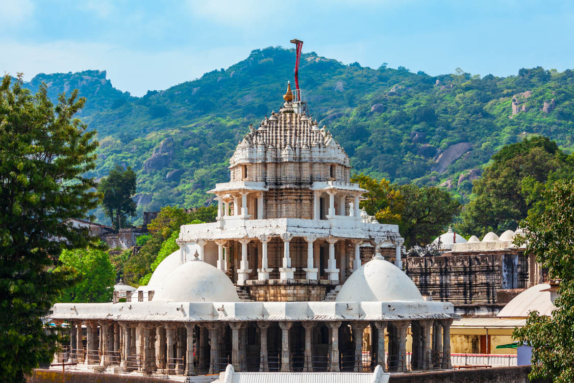
Mount Abu hosts the famous Dilwara Jain Temples, architectural marvels carved from marble. Many Hindu temples and sacred groves are scattered throughout the range.

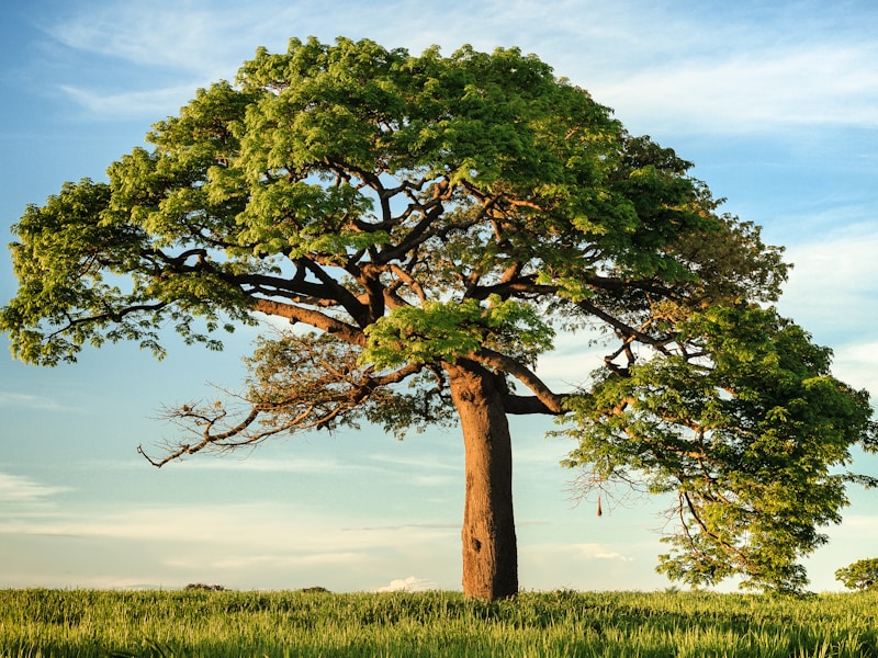
Tribal communities have lived in harmony with the Aravalli ecosystem for centuries, maintaining traditional knowledge of forest management and sustainable resource use.
Why the Aravalli Range matters for millions of people

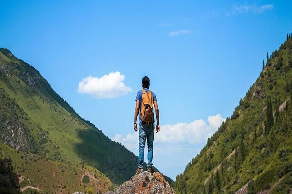
The Aravalli Hills have stood for 650 million years. Will they survive another century? Your action today can make the difference.
Take Action